Unit 2- On The Way To School
Lesson 1 - What's outside my classroom window?
Maps are a crucial part of Geography. But what is important when making a map?
Lesson 1 - What's outside my classroom window?
Maps are a crucial part of Geography. But what is important when making a map?
Keywords
Description
Accuracy
Annotate
Label
Lesson 2 - What is important in creating Political maps?
Description
Accuracy
Annotate
Label
Lesson 2 - What is important in creating Political maps?
| political_maps_ppt.pptx |
What is important when you create a map? Should you include everything?
There are difference types of map to show different information- if one map tried to show everything that maps can tell us it would be unreadable.
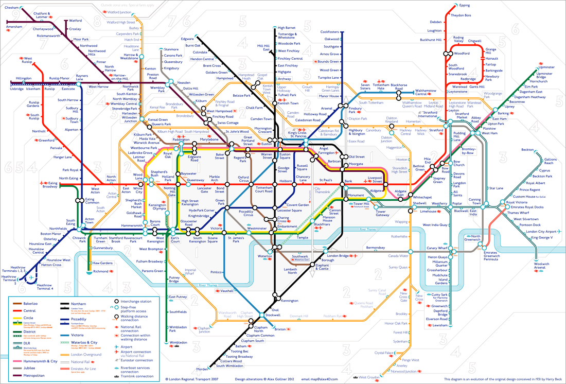
Maps that show countries and other things determined by people- cities, towns, major roads etc, are called Political Maps.
Task
Take some graph paper- let's map the classroom!
Decide what is important enough to go on the map.
1. Measure the classroom and decide on your scale- try to fit as much as you can on your graph paper.
2. Measure the length and width of the objects that you are going to include in your map.
3. Carefully mark out these objects on the map.
4. What labels should you use?
Remember that political maps are in 2d- you should not be showing the dimensions of things!
Keywords
Political Maps
Lesson 3 - What is important in creating Relief maps?
There are difference types of map to show different information- if one map tried to show everything that maps can tell us it would be unreadable.
Maps that show countries and other things determined by people- cities, towns, major roads etc, are called Political Maps.
Task
Take some graph paper- let's map the classroom!
Decide what is important enough to go on the map.
1. Measure the classroom and decide on your scale- try to fit as much as you can on your graph paper.
2. Measure the length and width of the objects that you are going to include in your map.
3. Carefully mark out these objects on the map.
4. What labels should you use?
Remember that political maps are in 2d- you should not be showing the dimensions of things!
Keywords
Political Maps
Lesson 3 - What is important in creating Relief maps?
| relief_maps.pptx |
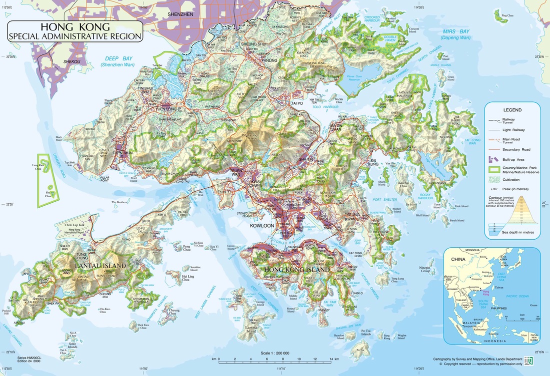
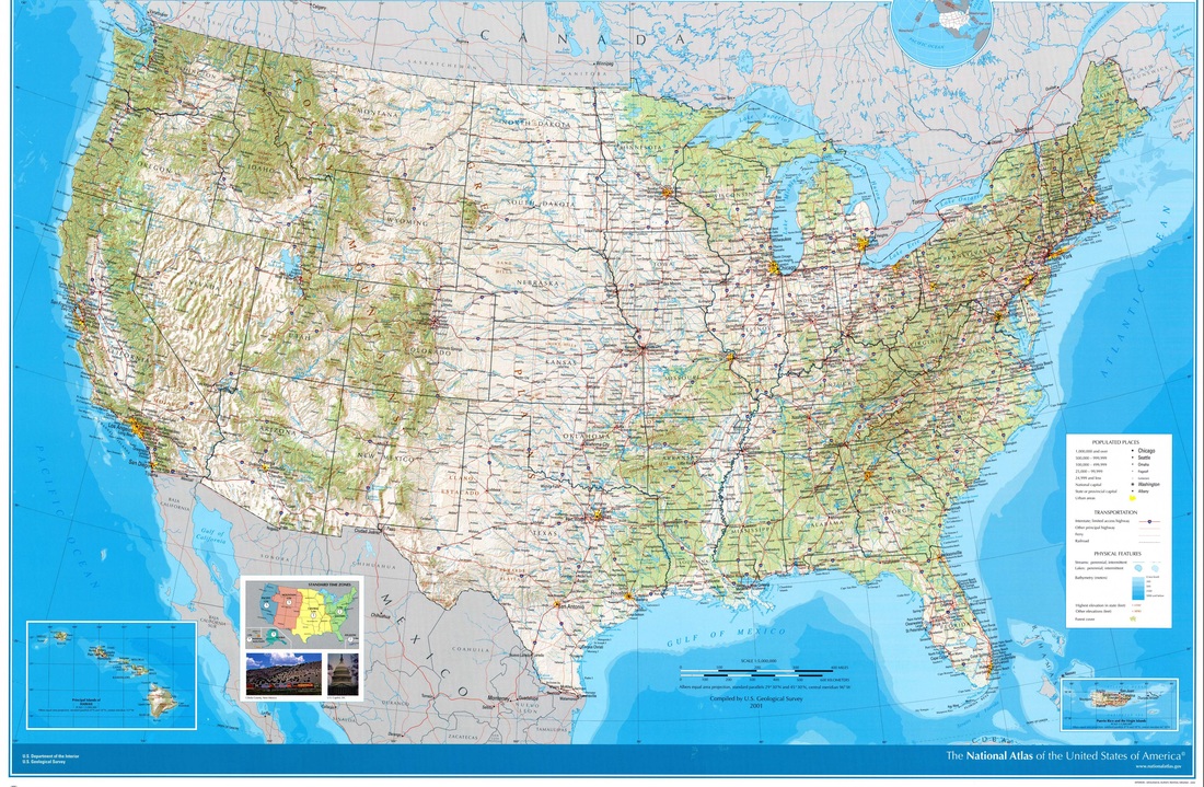
Political maps show important man-made items.
They are really good for finding out where countries, cities and towns are.
What are they not so good at showing us?
Task
Copy the maps below, import them into Google Drawing, and annotate the BOLTS!
They are really good for finding out where countries, cities and towns are.
What are they not so good at showing us?
Task
Copy the maps below, import them into Google Drawing, and annotate the BOLTS!
Heres one that I have started to give you an idea of what I am looking for...
Keywords
Relief Maps
Longitude
Latitude
Border
Orientation
Legend
Title
Scale
Lesson 4 - Elburg
So maps are useful...we understand that. But lets find out by looking at a place that you probably have never heard of!
Relief Maps
Longitude
Latitude
Border
Orientation
Legend
Title
Scale
Lesson 4 - Elburg
So maps are useful...we understand that. But lets find out by looking at a place that you probably have never heard of!
| elburg_instructions.docx |
| labels_and_notes.ppsx.pptx |
| elburg.ppsx.pptx |
Lesson 5 - Getting to know Google Earth
Google Earth has to be the best software for students looking at maps ever! If you don't have it, click the Google Earth link;
https://www.google.com/earth/download/ge/agree.html
Task 1
Lesson 5 - Getting to know Google Earth
Google Earth has to be the best software for students looking at maps ever! If you don't have it, click the Google Earth link;
https://www.google.com/earth/download/ge/agree.html
Task 1
Task 2
Task 3
Extra Supporting video for Task 3
Task 4
Now fix a screen shot of the front of your family home on to google earth.
Task 5
Below is the link to the Google Earth Quiz. Answer the questions as best as you can in your exercise books.
Once you have completed you quiz- your going to have a go at creating your own Google Earth Quiz for one of your classmates to complete.
Task 5
Below is the link to the Google Earth Quiz. Answer the questions as best as you can in your exercise books.
Once you have completed you quiz- your going to have a go at creating your own Google Earth Quiz for one of your classmates to complete.
| google_earth_quiz.pptx |
Lesson 6- Google Earth Tour
How to create your own tour-
Task
1. What is important in Hong Kong? What might tourists want to know about? What would be shown on a Political Map?
Standard task - List 3 objects
Challenge task - List 5 objects with explanations as to why they are important!
2. Mark the objects with pins on Google Earth.
3. Add in extra information in the Information tab about that object. You could add pictures, etc.
4. Create your tour! Use the video guide linked above to show you how. Remember to save your work regularly.
Lesson 7 -
What are children's journeys to school like around the world?
Many children around the world share the experience of education. However, there are elements of their experiences that are drastically different! Let's find out about some of the journeys to school that children take.
It is recommended that you bring headphones to use in lessons this week!
Task
Using the resources linked below, find out the required information for the four children featured in the video.
You will be given the worksheet below in hard copy. Trim and stick this in to your I and S exercise books and fill in the answers while watching the video above.
| onthewaytoschool-_task.docx |
There is some extra information about the individuals in this video at the website below-
http://www.surlechemindelecole.org/en/1608-2/
Lesson 8 - Geographical Investigation
Lets start putting our map skills to use to tell us more about different areas of the world. You will be given a hard copy of the document below. Please trim the pages and stick them into your I and S exercise book before filling in.
| geographicalinvestigation.docx |
Lesson 9- Indicators
What methods can we use to judge a country?
The food? The Sports teams? The number of theme parks?
What about if we want to know how a country performs economically? Or socially? Or politically?
We use things called Indicators.
An indicator does what it suggests - it indicates something about a country. You could use things like GDP (Gross decimal product - the value of goods a nation produces across a year) or even things like the percentage of people who own a car!
Task
Note down the keyword Indicators. Write out a definition for it with an example to help explain.
Task
Create Top Trumps!
| top_trumps.pptx |
Below you will find a top trump card template. Remember, you are going to need 50 of these!
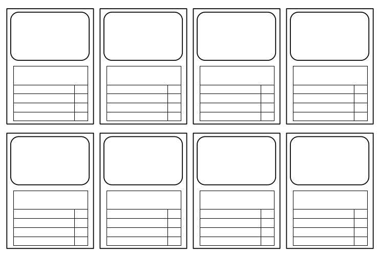
| trumps_cards_templates_.docx |
Click the link below to help you find criteria to compare your countries-
http://www.nationmaster.com
http://www.nationmaster.com
Lesson 10 - Developed or Not?
How can we judge whether a country is developed or not? Is life expectancy the only indicator we could look at? Or average years spent in education? Or GDP?
It will probably be a mix of many of the above...and more! What criteria do you think are most important?
In your groups look at the images in the powerpoint below-
| developed_or_not_.ppt-2.pptx |
Use the images on the powerpoint to fill in the hard copy worksheet provided to you for this lesson. Trim and stick these into your I and S exercise books before we begin.
You should provide AT LEAST two bits of evidence to support your ideas.
Challenge Task - Try to use technical terms for indicators - think back to your Top Trumps to help you!
NOTE - You should NOT have one shared document between all group members. You should fill your sheets out INDIVIDUALLY. You do not have to agree with members of your group, you are just in groups to discuss your ideas.
Lesson 11 - The Assessment!
| summative_assessment_unit_2_on_the_way_to_school.docx |
